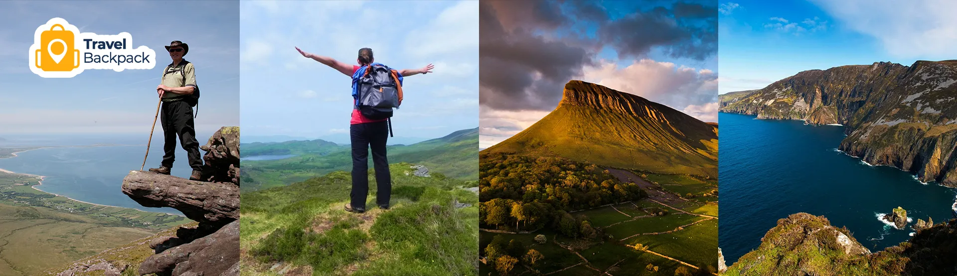
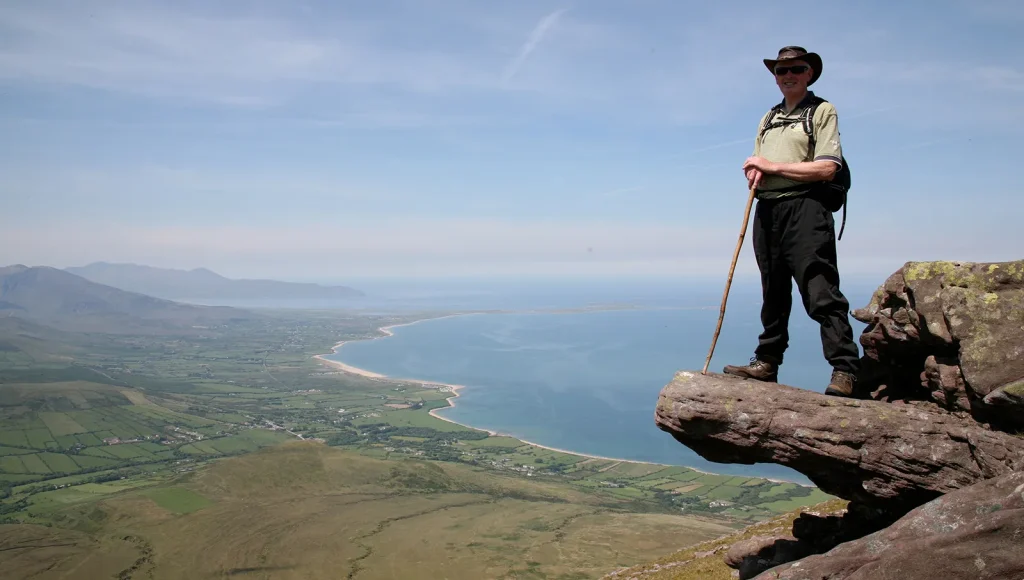
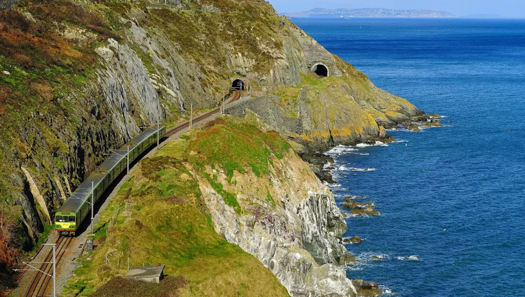
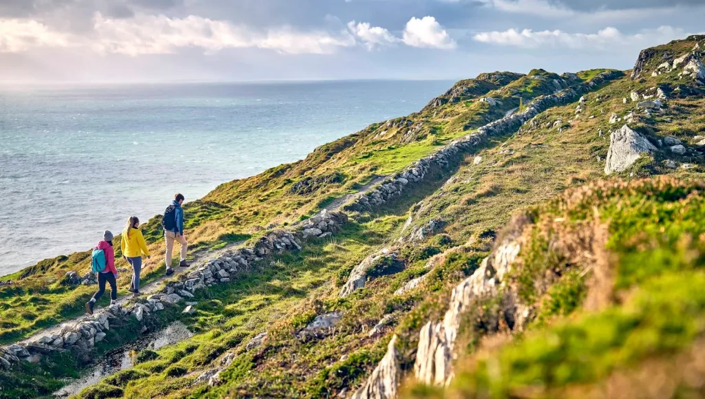
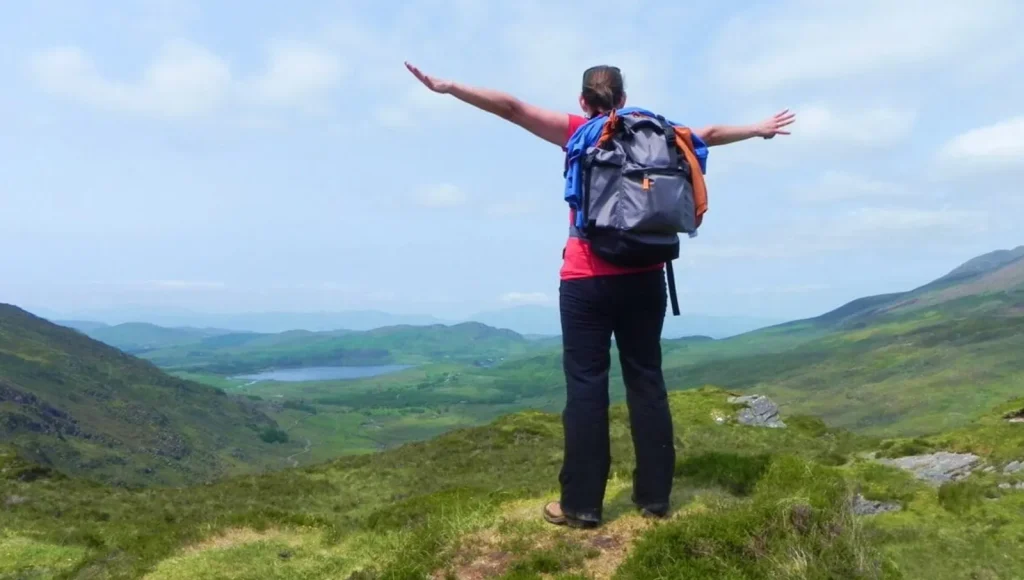
Ireland does not try too hard. It just is beautiful. You walk a little, and suddenly, there are cliffs taller than buildings. The best thing about hiking in Ireland is that it never feels the same twice. One trail gives you wild ocean views. Another leads you through soft green valleys. Some hikes are short and easy, perfect for beginners. Others are long and steep and will test your legs in the best way.
This guide shares 25 hikes that people should try at least once. A mix. Some dramatic. Some peaceful. All worth it.
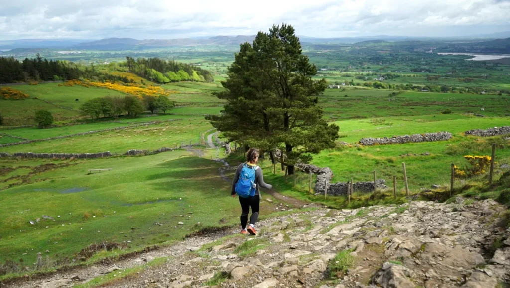
25 Best Hikes in Ireland You Need to Experience
These trails show different sides of Ireland. Cliffs. Mountains. Lakes. Coastal paths. Each one feels completely different from the next.
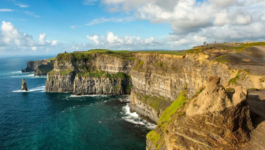
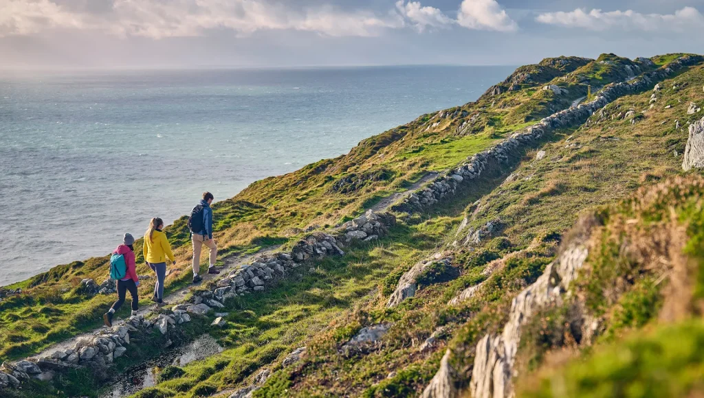
1. Cliffs of Moher Coastal Walk
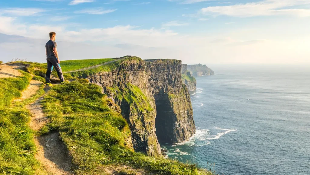
- Location: West coast, County Clare
- Distance: 8 km / 5 miles (visitor centre to Doolin section)
- Time Needed: 2-3 hours
- Difficulty: Easy to moderate
This is the classic one. The Cliffs of Moher sit on the west coast, and they drop straight down into the Atlantic Ocean. The path stretches for miles. On one side, there are giant cliffs. On the other side, there is open land and grazing sheep. The wind can be strong, and that makes it even more exciting.
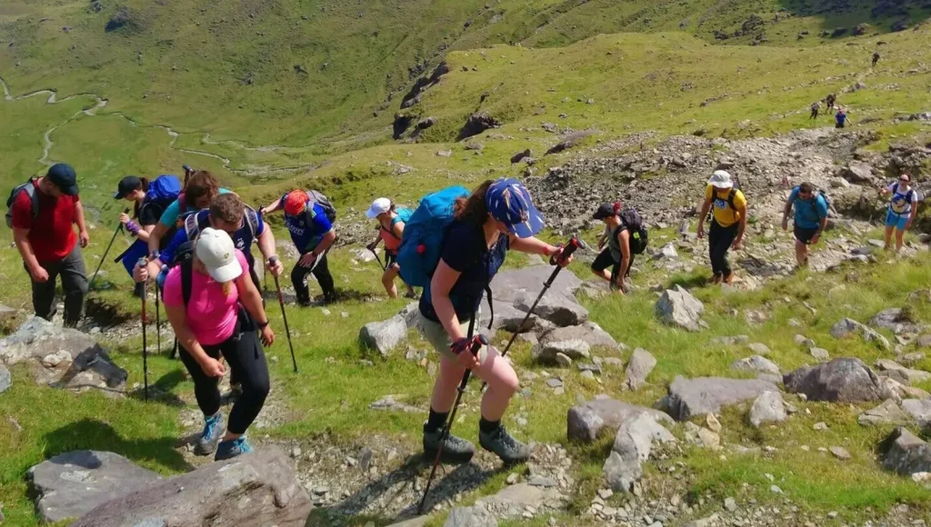
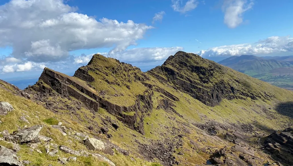
2. Carrauntoohil via Devil’s Ladder
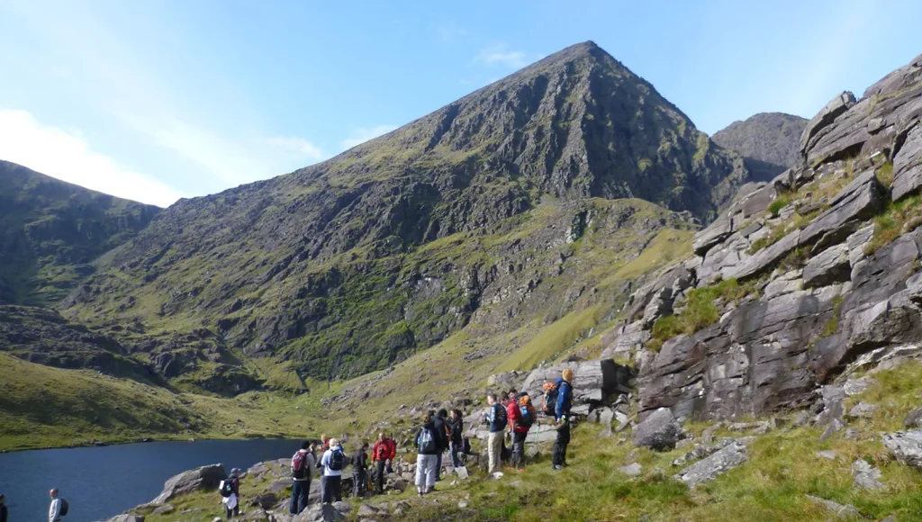
- Location: MacGillycuddy’s Reeks
- Distance: 12 km / 7.5 miles (return)
- Time Needed: 5-6 hours
- Difficulty: Hard
Carrauntoohil is the highest mountain in Ireland. So yes, this one is serious. The Devil’s Ladder is the most common route up. A route just means the way people climb it. It is steep, rocky, and sometimes slippery, especially after rain. Good shoes are a must.
3. Diamond Hill in Connemara
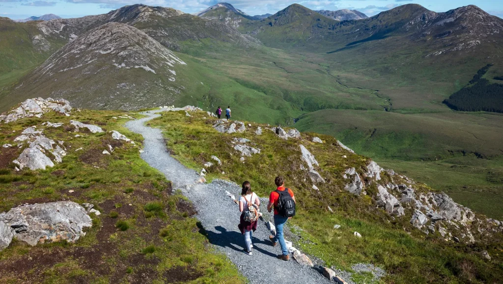
- Location: Connemara National Park
- Distance: 7 km / 4.3 miles (full loop)
- Time Needed: 2.5-3 hours
- Difficulty: Moderate
Diamond Hill is located within Connemara National Park. This hike is popular because it gives big views without being too extreme. There are wooden boardwalk sections, which are flat wooden paths that help protect the ground and make walking easier.
4. Croagh Patrick
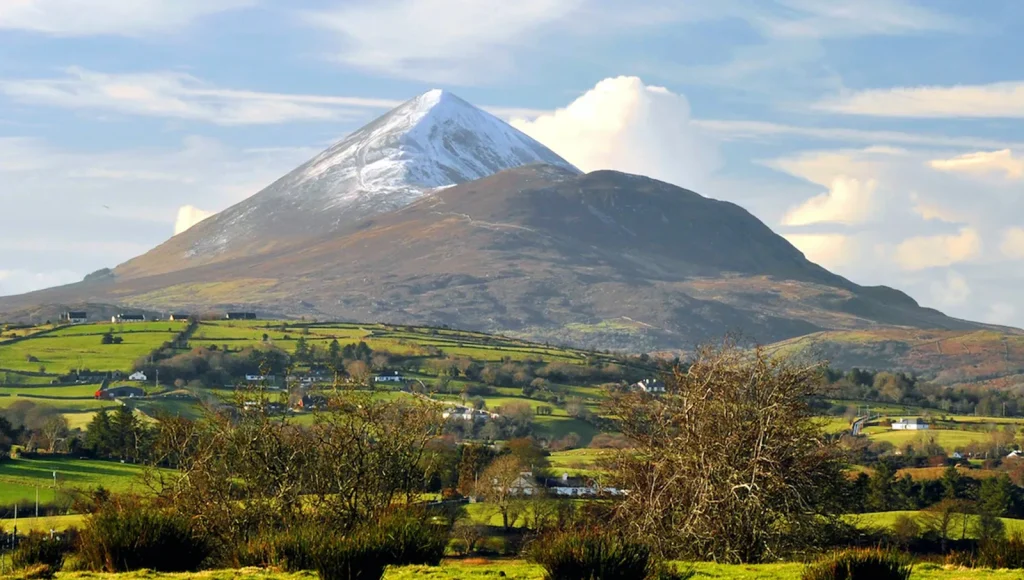
- Location: Near Westport
- Distance: 7 km / 4.3 miles (return)
- Time Needed: 3-4 hours
- Difficulty: Moderate to hard
Croagh Patrick is known as Ireland’s holy mountain. Many people climb it as part of a pilgrimage, which means a spiritual journey. The trail starts gently but gets steeper near the top. The final section is rocky and loose underfoot. It can feel slow and tiring.
5. Slieve League Cliffs
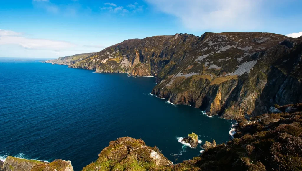
- Location: Southwest Donegal
- Distance: 6-8 km / 3.7-5 miles depending on route
- Time Needed: 2-4 hours
- Difficulty: Moderate
Slieve League is often compared to the Cliffs of Moher, but it is actually higher. Higher means the drop to the sea is even taller and more dramatic. The hike here can be easy or challenging, depending on how far you go. There is a narrow ridge section called One Man’s Pass.
6. The Wicklow Way
- Location: Wicklow Mountains
- Distance: 131 km / 81 miles total
- Time Needed: 5-7 days for the full route
- Difficulty: Moderate
The Wicklow Way is a long-distance trail. It runs through the Wicklow Mountains and passes forests, lakes, and rolling hills. Most people only hike a section of the route instead of the whole route. It is a great choice for people who want variety. For one hour, you are in the woodland. Next, you are in open mountain land. It keeps changing.
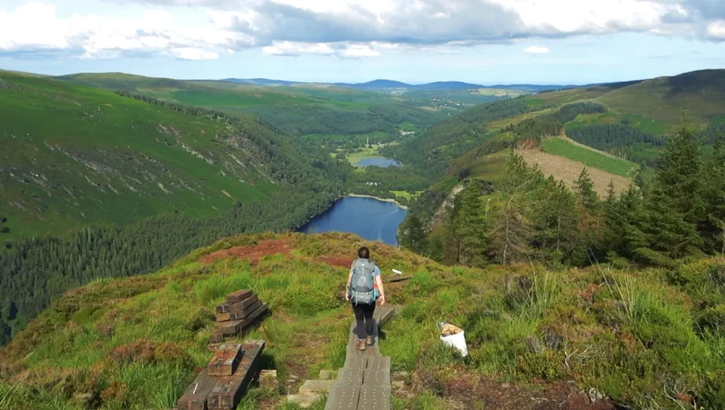
7. Glendalough Upper Lake Loop
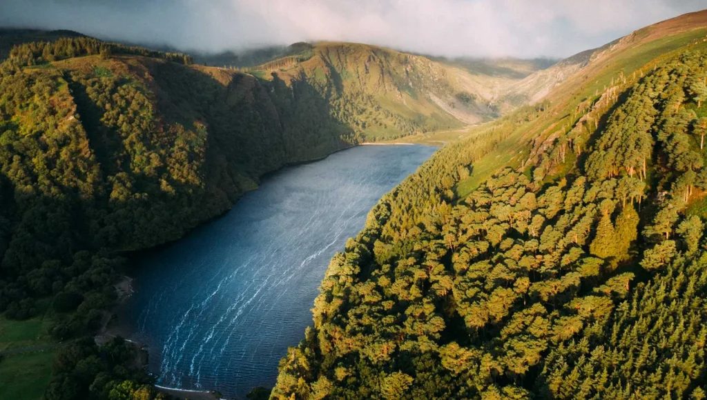
- Location: Wicklow Mountains National Park
- Distance: 5 km / 3.1 miles
- Time Needed: 1.5-2 hours
- Difficulty: Easy
Glendalough is famous for its old monastery ruins. The Upper Lake Loop circles a beautiful lake surrounded by hills. The path is clear and easy to follow. It is not extreme, but it is peaceful. The water reflects the mountains. Birds echo across the valley.
8. Mount Errigal
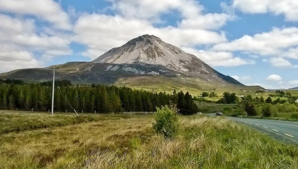
- Location: Near Dunlewey
- Distance: 4.5 km / 2.8 miles (return)
- Time Needed: 2-3 hours
- Difficulty: Moderate
Mount Errigal stands tall in County Donegal. It has a sharp, almost pyramid shape. The climb is short but steep. The ground can be loose and sandy near the top. That makes footing tricky sometimes. From the summit, the views stretch over lakes and rugged hills.
9. The Dingle Way
- Location: Dingle Peninsula
- Distance: 179 km / 111 miles total
- Time Needed: 7-9 days full route
- Difficulty: Moderate
The Dingle Way is another long walking trail that circles the Dingle Peninsula. This hike mixes beaches, cliffs, farmland, and mountain views. It feels very Irish, with stone walls and open green fields. People often break it into sections.
10. Benbulben Forest Walk
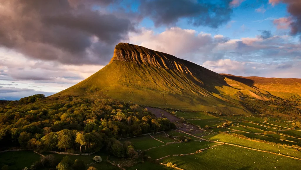
- Location: Near Drumcliffe
- Distance: 5.5 km / 3.4 miles
- Time Needed: 1.5-2 hours
- Difficulty: Easy
Benbulben is a flat-topped mountain that looks almost like a giant table. The forest walk at its base is easier than climbing the mountain itself. The trail passes through woodland before opening up to big views of the mountain above. It feels dramatic but manageable. This is a good option for people who want impressive scenery without a tough climb.
11. The Gap of Dunloe
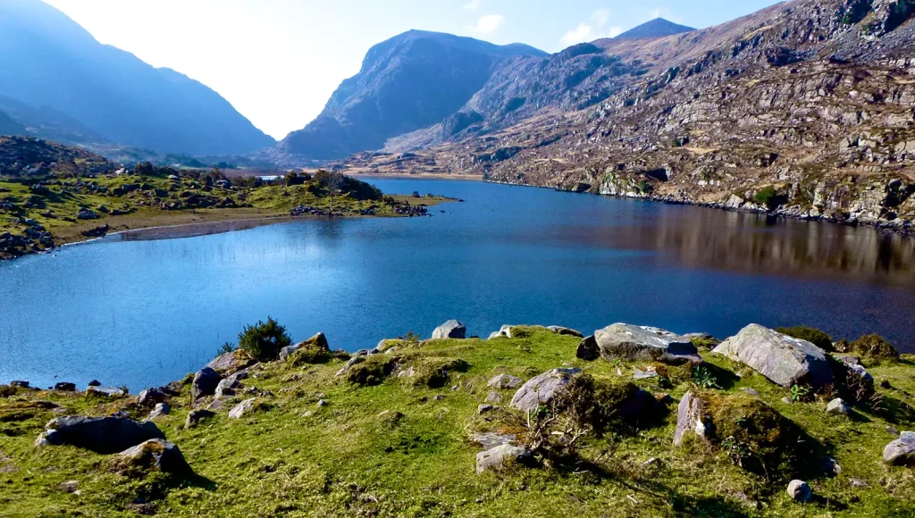
- Location: Between Killarney and Black Valley
- Distance: 11 km / 6.8 miles (one way)
- Time Needed: 3-4 hours
- Difficulty: Easy to moderate
The Gap of Dunloe is a narrow mountain pass in County Kerry. The road winds between tall rocky slopes and quiet lakes. It is not a technical hike, which means you do not need special climbing skills. It is more of a long scenic walk. There are sheep everywhere. Sometimes, even horse carts pass by. The mountains feel close and dramatic, but the walk itself feels calm and steady.
12. Mweelrea Mountain
- Location: Near Killary Harbour
- Distance: 10 km / 6.2 miles (return)
- Time Needed: 5-6 hours
- Difficulty: Hard
Mweelrea is the highest mountain in the province of Connacht. This hike is tougher than it looks. The ground can be boggy, which means soft and wet, almost like walking on a sponge. There are fewer clear paths here, so people need to pay attention. But the reward is huge. From the top, you see fjord-like inlets, which are narrow sea areas cutting into land.
13. Bray to Greystones Cliff Walk
- Location: East coast
- Distance: 7 km / 4.3 miles
- Time Needed: 2-3 hours
- Difficulty: Easy
This coastal path connects the towns of Bray and Greystones. It runs right along the edge of the Irish Sea. The walk is easy to follow and not too steep. Families often do this one. You get sea views the entire time, and on clear days, the water shines bright blue. At the end, many hikers grab food in Greystones.
14. The Burren Way
- Location: The Burren region
- Distance: 123 km / 76 miles total
- Time Needed: 5-7 days full route
- Difficulty: Moderate
The Burren looks different from the rest of Ireland. Instead of green fields, it has flat grey limestone rock. Limestone is a type of pale stone formed long ago under the sea. Walking here feels almost like being on another planet. The ground is rocky and cracked, but small flowers grow between the stones. It is quiet and peaceful.
15. Torc Mountain
- Location: Killarney National Park
- Distance: 7.5 km / 4.6 miles (loop)
- Time Needed: 2.5-3 hours
- Difficulty: Moderate
Torc Mountain sits near Killarney. The hike begins through the forest, then slowly climbs up wooden steps. It is not the longest trail, but it is steady and uphill. At the top, you see Killarney Lakes stretching far below. Clouds often move quickly here. One minute, it is clear. Next, the mountain feels wrapped in mist.
16. Coumshingaun Lake Loop (County Waterford)
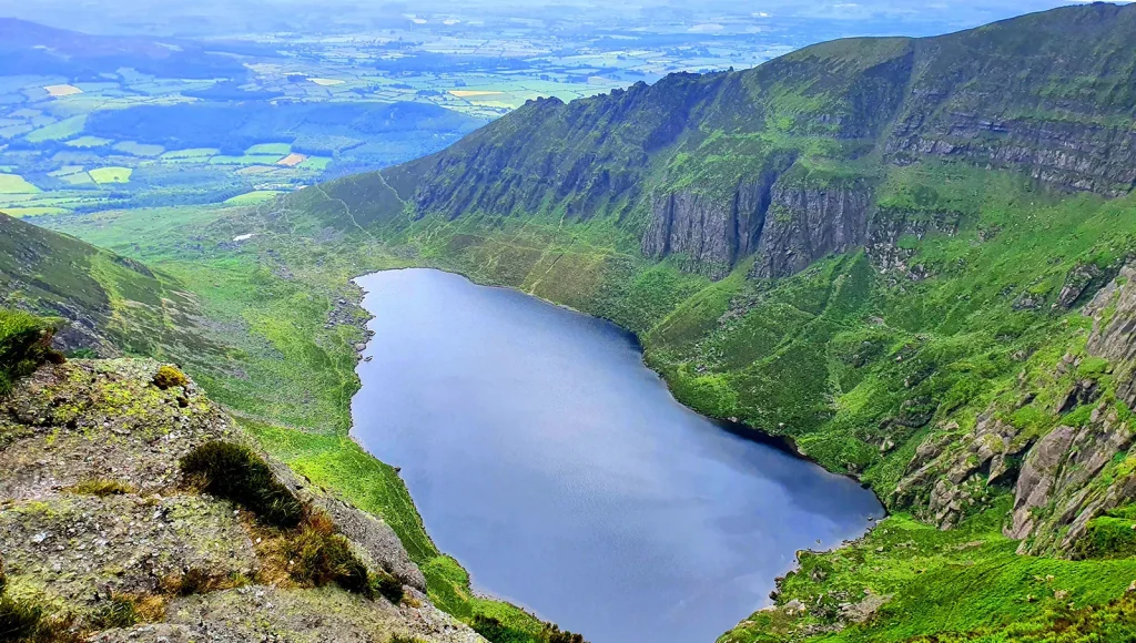
- Location: Comeragh Mountains, County Waterford
- Distance: Around 7 km / 4.3 miles (full loop)
- Time Needed: 3-4 hours
- Difficulty: Moderate to hard
Coumshingaun Lake sits inside a deep mountain bowl in the Comeragh Mountains. The hike starts near Kilclooney Wood car park. The first section goes uphill on grass and loose stone. The climb gets steep as you move higher. Once you reach the ridge, you walk along the edge above the lake. The ground can feel uneven and rocky in parts. Strong shoes are important, especially after rain.
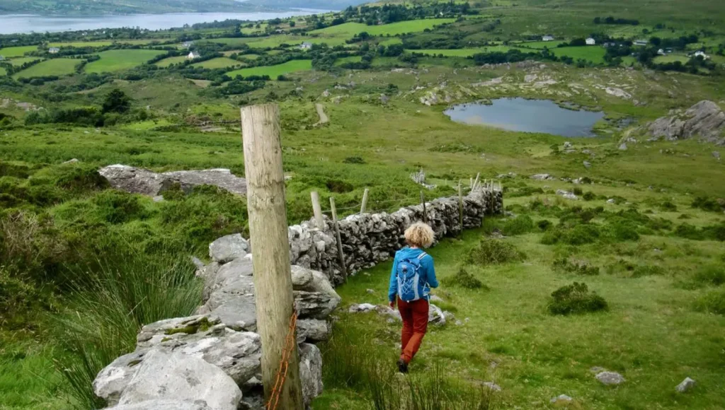
17. Sheep’s Head Way (County Cork)
- Location: Sheep’s Head Peninsula, West Cork
- Distance: Full route is 88 km / 55 miles (section hikes available)
- Time Needed: 2-6 hours, depending onthe section
- Difficulty: Easy to moderate
Sheep’s Head Way follows the narrow peninsula between Bantry Bay and Dunmanus Bay. Most people walk shorter sections instead of the full route. The terrain is mainly grassy paths and small hills. This hike is well-suited for beginners.
18. Kerry Way (County Kerry)
- Location: Iveragh Peninsula, Southwest Ireland
- Distance: 214 km / 133 miles total
- Time Needed: 8-10 days for the full route
- Difficulty: Moderate
Kerry Way is one of Ireland’s longest marked walking trails. It forms a loop around the Iveragh Peninsula. Most hikers complete it in stages over several days. The terrain includes mountain paths, forest trails, country roads, and farmland tracks. Elevation gain varies by section. Some parts are steep, while others are flat. Towns along the route provide places to rest, eat, and stay overnight.
19. Mount Brandon (County Kerry)
- Location: Dingle Peninsula
- Distance: 9 km / 5.6 miles (out and back via Faha route)
- Time Needed: 4-5 hours
- Difficulty: Moderate to hard
Mount Brandon is one of the highest peaks in Ireland at 952 meters (3,123 feet). The Faha route is the most common path to the summit. The lower section starts on a clear trail. Higher up, the ground becomes rocky and exposed. This climb is suitable for hikers with some mountain experience.
20. Howth Cliff Walk (County Dublin)
- Location: Howth Peninsula
- Distance: 6-8 km / 3.7-5 miles (depending on loop chosen)
- Time Needed: 2-3 hours
- Difficulty: Easy
Howth Cliff Walk is one of the most accessible coastal hikes near Dublin. The route forms a loop around the peninsula. The paths are clear and mostly gravel or dirt. Elevation gain is mild compared to mountain hikes. Public transport makes it easy to reach.
21. Lough Ouler (County Wicklow)
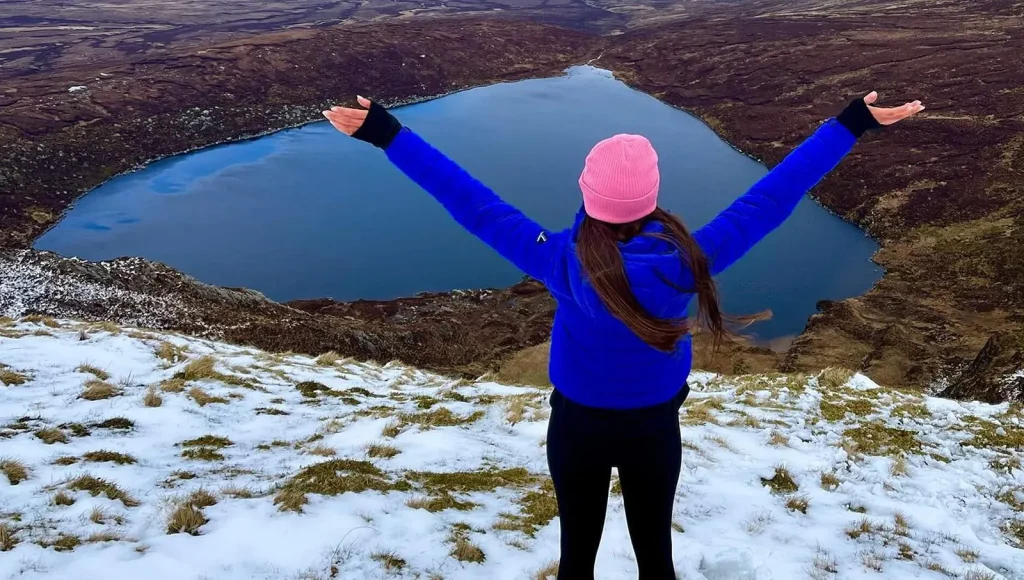
- Location: Wicklow Mountains
- Distance: 6 km / 3.7 miles (out and back)
- Time Needed: 2-3 hours
- Difficulty: Moderate
Lough Ouler is known for its heart-shaped outline when viewed from above. The hike begins near the Glenmacnass Waterfall area. The path climbs steadily uphill. Some sections are grassy and can feel slippery after rain. The incline is short but noticeable. The view from above clearly shows the lake’s shape. It is a shorter hike with a good reward.
22. Beara Way (Counties Cork & Kerry)
- Location: Beara Peninsula
- Distance: 196 km / 122 miles total
- Time Needed: 9-10 days for the full route
- Difficulty: Moderate
Beara Way circles the Beara Peninsula. It is less crowded than the Kerry Way but offers similar coastal and mountain scenery. The trail passes through small towns, hills, and shoreline paths. Elevation varies depending on the section chosen. Many hikers complete the route in stages. Accommodation is available in villages along the way.
23. Croaghaun Cliffs (Achill Island, County Mayo)
- Location: Achill Island
- Distance: 8 km / 5 miles (return hike)
- Time Needed: 4 hours
- Difficulty: Hard
Croaghaun Cliffs are among the highest sea cliffs in Europe at about 688 meters (2,257 feet). The route is not fully marked, so navigation skills help. The terrain includes grassy slopes and uneven ground. There are no safety barriers near the edge. This hike is suitable for experienced hikers who are comfortable with exposed cliff sections.
24. Slieve Bloom Mountains (Counties Laois & Offaly)
- Location: Midlands of Ireland
- Distance: Multiple routes, 5-20 km / 3-12 miles
- Time Needed: 2-6 hours
- Difficulty: Easy to moderate
Slieve Bloom offers several marked trails through forests and open hills. The terrain is mostly gentle compared to coastal cliffs. The trails are well-maintained and suitable for different fitness levels. Elevation gain is moderate but not extreme.
25. Knocknarea Mountain (County Sligo)
- Location: Near Strandhill, County Sligo
- Distance: 4 km / 2.5 miles (loop)
- Time Needed: 1.5-2 hours
- Difficulty: Moderate
Knocknarea rises to 327 meters (1,073 feet). The climb is short but uphill the entire way. At the summit sits Queen Maeve’s Cairn, a large stone mound. The path is clear and mostly gravel. The view includes the Atlantic coastline and Benbulben Mountain in the distance.
Final Thoughts
Before planning a hike, check the weather forecast and trail conditions. Ireland’s weather can change quickly, especially in mountain areas. Proper footwear, water, and a map or GPS device are always recommended. Even shorter routes require basic preparation. Start with a route that matches your ability. Build confidence with shorter trails, then move to more challenging climbs if you want more difficulty. If you have hiked the trail, feel free to share your experience.
FAQs
Are hiking trails in Ireland clearly marked?
Most popular trails are well marked with signs and waymarkers. National parks and long-distance routes usually provide clear directions.
Do I need special gear for hiking in Ireland?
Basic hiking shoes with grip are strongly recommended. Waterproof clothing is important due to frequent rain.
Can you hike in Ireland without a guide?
Yes, many trails can be completed independently.
Can beginners attempt Ireland’s highest mountain?
Carrauntoohil is not recommended for complete beginners. It involves steep sections and loose rock. Building experience on moderate hikes first is advisable before attempting higher peaks.